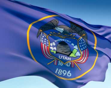

US State of Utah
Utah is a state in the United States. It became the 45th state admitted to the Union on January 4, 1896. Utah is the 13th-largest, the 34th-most populous, and the 10th-least-densely populated of the 50 United States. Approximately 80% of Utah's 2,817,222 people live along the Wasatch Front, centering on Salt Lake City, leaving vast expanses of the state nearly uninhabited. Utah is bordered by Colorado to the east, Wyoming to the northeast, Idaho to the north, Arizona to the south, and Nevada to the west. It also touches a corner of New Mexico in the southeast.
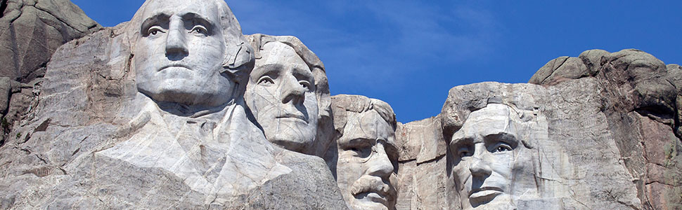
Utah is the most religiously homogeneous state in the Union. Approximately 63% of Utahns are reported to be members of The Church of Jesus Christ of Latter-day Saints or LDS (Mormons), which greatly influences Utah culture and daily life. The world headquarters of The Church of Jesus Christ of Latter-day Saints (LDS Church) is located in Utah's state capital, Salt Lake City.
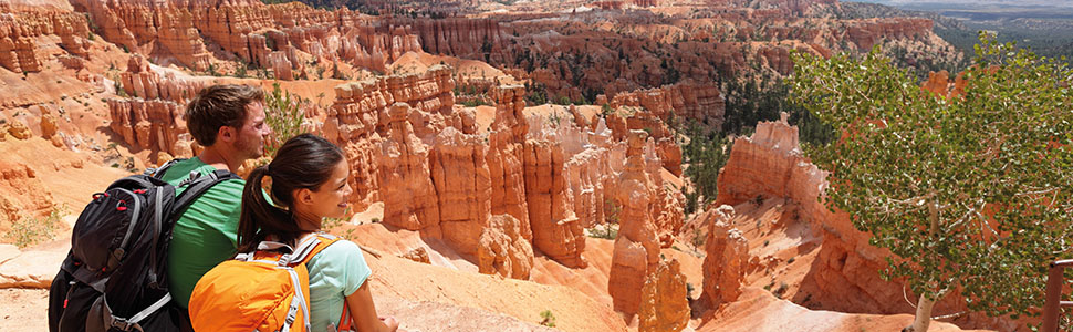
The state is a center of transportation, education, information technology and research, government services, mining, and a major tourist destination for outdoor recreation. According to the U.S. Census Bureau's population estimates, Utah is the Seventh fastest-growing state in the United States as of 2012. St. George was the fastest–growing metropolitan area in the United States from 2000 to 2005. A 2012 Gallup national survey found Utah overall to be the "best state to live in" based on 13 forward-looking measurements including various economic, lifestyle, and health-related outlook metrics.
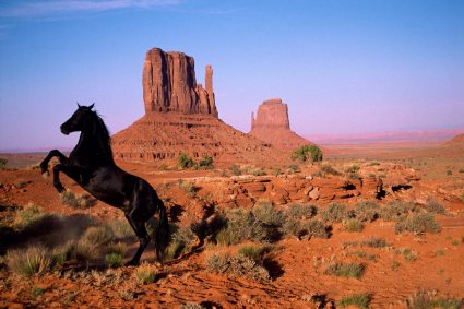
Utah is known for its natural diversity and is home to features ranging from arid deserts with sand dunes to thriving pine forests in mountain valleys. It is a rugged and geographically diverse state that is located at the convergence of three distinct geological regions: the Rocky Mountains, the Great Basin, and the Colorado Plateau.
Utah is one of the Four Corners states, and is bordered by Idaho in the north, Wyoming in the north and east; by Colorado in the east; at a single point by New Mexico to the southeast; by Arizona in the south; and by Nevada in the west. It covers an area of 84,899 sq mi (219,890 km2). The state is one of only three U.S. states (with Colorado and Wyoming) that have only lines of latitude and longitude for boundaries.
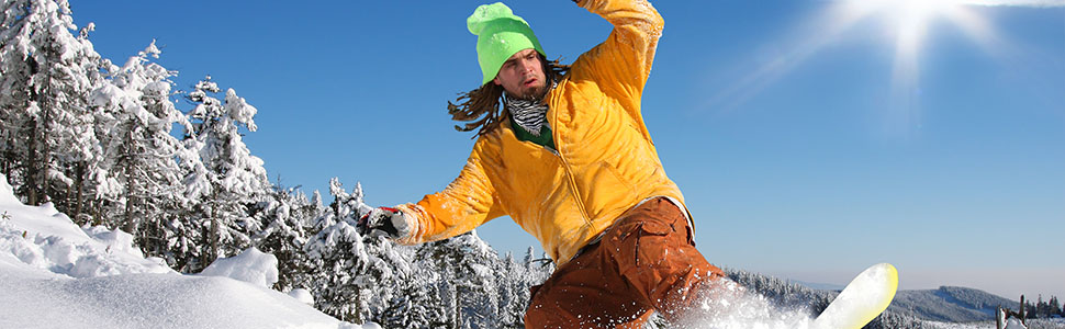
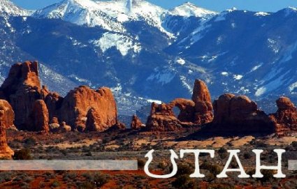
One of Utah's defining characteristics is the variety of its terrain. Running down the northern center of the state is the Wasatch Range, which rises to heights of about 12,000 ft (3,700 m) above sea level. Utah is home to world-renowned ski resorts, made popular by the light, fluffy snow and easy accessibility. In the northeastern section of the state, running east to west, are the Uinta Mountains, which rise to heights of 13,000 feet (3,950 m) or more. The highest point in the state, Kings Peak, at 13,528 feet (4,123 m), lies within the Uinta Mountains.
At the western base of the Wasatch Range is the Wasatch Front, a series of valleys and basins that are home to the most populous parts of the state. It stretches approximately from Brigham City at the north end to Nephi at the south end. Approximately 75 percent of the population of the state lies in this corridor, and population growth is rapid.
Utah features a dry, semi-arid to desert climate, although its many mountains feature a large variety of climates, with the highest points in the Uinta Mountains being above the timberline. The dry weather is a result of the state's location in the rain shadow of the Sierra Nevada in California. The eastern half of the state lies in the rain shadow of the Wasatch Mountains. The primary source of precipitation for the state is the Pacific Ocean, with the state usually lying in the path of large Pacific storms from October to May. In summer, the state, especially southern and eastern Utah, lies in the path of monsoon moisture from the Gulf of California.
From Wikipedia, the free encyclopedia
Educational institutes in Utah
Layton Christian Academy, Layton, Utah
Wasatch Academy, Mt. Pleasant, Utah